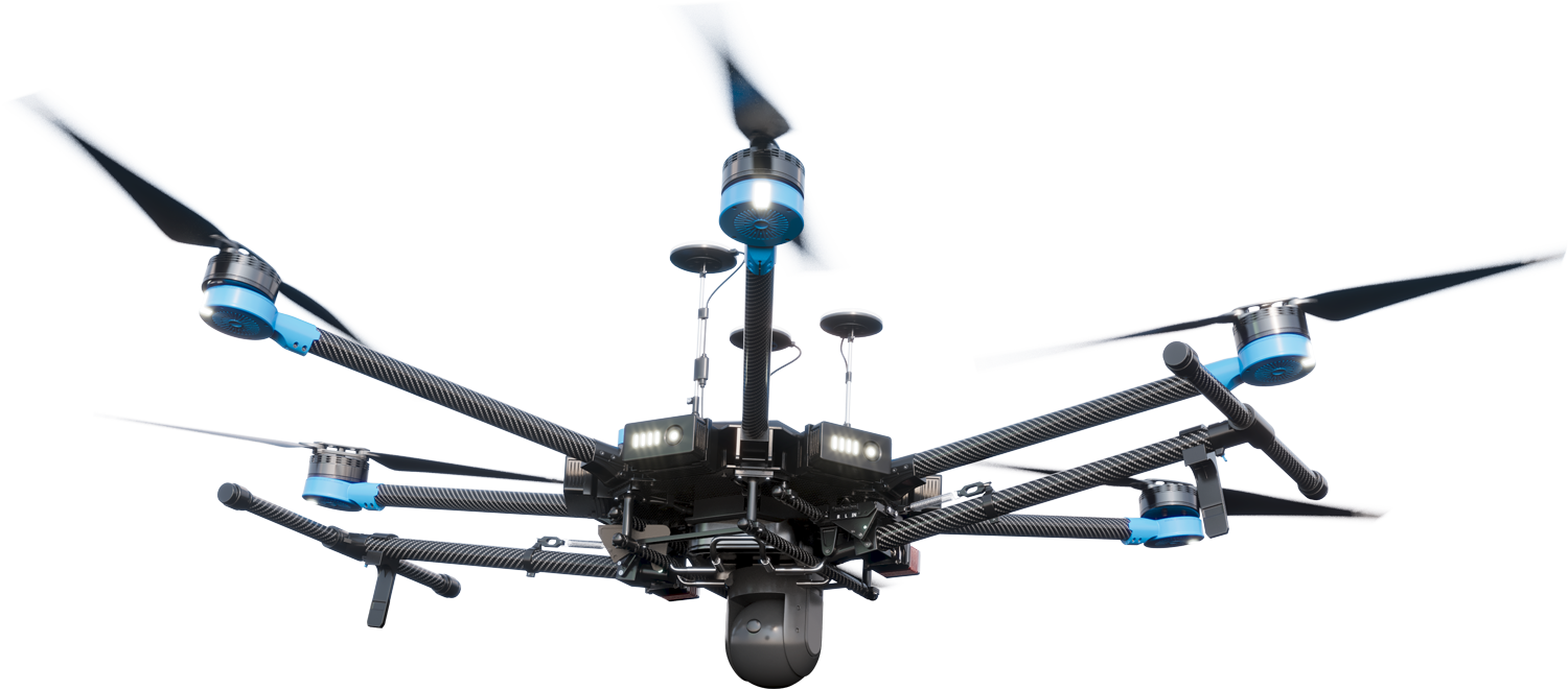

from above
Done for you.


YOUR SITE
decision & analysis.


your land


INTO YOUR LAND


3D LANDSCAPE SURVEYS

airborn insight
AirBorn Insight Pty Ltd leverages drone technology to empower decision making. With over 30 years professional experience in engineering, science and surveying, we can be relied upon to provide quality data capture and analysis services to achieve project outcomes. As an experienced service provider, we can achieve the right outcome, first time, under a proven safety management system.
airborn insight
Numerous industries benefit from airborne data technologies, including agriculture, environment, mining, renewable energy and others.

Crop monitoring, mapping, gathering data for precision agriculture, and conducting aerial surveys for analysis and decision-making.

Enable researchers to make data-driven decisions regarding breeding programs, crop management practices, and resource optimization.

High-resolution aerial imagery and LiDAR for efficient elevation measurements and accurate digital terrain models for engineering and construction purposes.

Assess and monitor erosion, ecosystems, invasive species and water quality to benefit conservation efforts.

Engineering designs informed by drone surveys enable us to clearly identify vulnerable areas and to design and model effective solutions.

Plant health monitoring and yield forecasting through automated plant counting and sizing to optimize cultivation practices and improve crop management.
AERIAL DATA TO MAKE BETTER DECISIONS
airborn insight key services
With over 500 projects completed across a range of industries, we have the skills, technology and people to achieve project success. Our high-performance systems, robust methodologies, and efficient data delivery services ensure our clients receive effective, tailored solutions.
Our professional plant phenotyping services accelerate the development of superior crop varieties and agricultural products.
Drone-based phenotyping uses advanced sensors carried by drones to collect data on plant health and traits. It involves the systematic acquisition of high-resolution imagery, multispectral, hyperspectral, thermal, laser and other relevant measurements from crops. This data is analysed to understand plant health, growth patterns, stress responses, and other phenotypic characteristics as effected by genetics, treatments, environment, and management practices. This enables researchers and farmers to make data-driven decisions regarding breeding programs, crop management practices, and resource optimization. We take care of the complexities and equipment costs inherent with this work to provide reliable data to our valuable research partners, hassle-free.
A single drone flight captures millions of data points, each containing valuable 3D geographic information.
We use high-performance drone systems to efficiently create detailed maps and models of the Earth’s surface. Our engineers offer maximum flexibility by deploying the most effective drone sensors for each application, including LiDAR, photogrammetry, thermal, multispectral, and other specialist sensors. Survey data is typically represented in convenient GIS formats including point clouds, digital terrain models (DTM), digital surface models (DSM), orthorectified imagery, and CAD site plans. We have extensive experience in monitoring, trend analysis and compliance reporting. Our repeatable and highly visual data facilitates compliance reporting with confidence.
Our science and engineering professionals provide expert analysis for environmental management decisions with actionable recommendations.
Drone-based environmental monitoring plays a pivotal role in ecosystem management by enabling experts to study diverse landscapes and delicate environments with precision. Used correctly, new airborne sensor technologies can capture data that greatly assists in assessing the health of habitats and identifying environmental threats before they emerge. Our scientists interpret this data and provide actionable recommendations. This contributes to improved resource management, heightened protection of ecosystems, and informed decision-making in pursuit of sustainable development. Our approach streamlines compliance reporting by using accurate, repeatable, and highly visual data.
Our science and engineering professionals (RPEQ) provide expert design for environmental projects, with innovative solutions for gully and stream repairs, and landscape resilience.
Environmental engineering improves landscapes and ecological conditions so plants, animals and humans can thrive. We provide designs and programs to improve degraded landscapes, making them more resilient to droughts and floods. Digital twin data capture via drone is a key element in this work, enabling the provision of high-resolution insights to our clients, and precise, relevant data for our designers. We use this data to ensure designs work within site constraints and match site context to reduce design costs.
LiDAR technology has only recently become powerful and compact enough to be carried on large drones.
Aerial LiDAR (light detection and ranging) emits high frequency laser pulses towards the ground to create detailed models of terrain and objects. One of the benefits of LiDAR is the ability to map the ground in areas where there is dense vegetation. This makes it a particularly powerful tool for environmental mapping, monitoring and analysis. LiDAR technology plays a significant role in our aerial survey and mapping services.
Our engineers specialise in providing flexible solutions, adapting drone flights, sensor configurations and data analysis approaches.
We equip our drones with specialist sensors for enhanced capabilities. Tailored to specific tasks, these sensors provide precision data that standard methods can’t match. From LiDAR and photogrammetry to thermal and multispectral, our systems integrate diverse data sources for superior insights. We endeavour to drive innovation across industries, redefining the way data is captured, analysed, and applied.
AIRBORN INSIGHT

RADIOMETRIC THERMAL DATA
LiDAR
MULTISPECTRAL
HIGH-RES IMAGERY
DIGITAL TERRAIN MODELS
MACHINE LEARNING
PLANT COUNTING
PLANT SIZING
PHOTOGRAMMETRY
VOLUMES
CHANGE DETECTION
AirBorn Insight are our go-to provider for aerial survey and imagery. They fully understand our needs and are excellent at what they do. I am always impressed with the quality and accuracy of their work, especially for repeat survey. I frequently recommend AirBorn Insight to my clients and stakeholders.
The services provided by AirBorn Insight have supported a number of advances in crop research at The University of Queensland. They understand field research and the need to deliver. This takes the stress out of research as we can rely on them to provide high quality data
Working with AirBorn Insight has been a valuable experience. Their accurate survey data helps us create compliance reports, make informed operational decisions, simplify design processes, and reduce survey costs. Their expertise, tailored services, and prompt responses have been greatly appreciated. We look forward to continuing our collaboration!