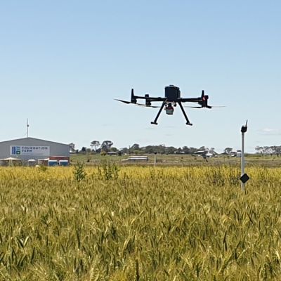
Our drone survey mapping service utilizes state-of-the-art unmanned aerial vehicles equipped with high-resolution cameras and advanced sensors. These drones are deployed to capture detailed imagery of vast agricultural areas, providing accurate and up-to-date information about the land, crops, and infrastructure. Our team of experts then processes this data using sophisticated software, generating comprehensive maps and 3D models that are invaluable for land management, precision agriculture, and infrastructure planning.
Clear Filters
Beyond the paddock: Remote mapping of grain crop type and phenology